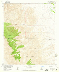
1959 Map of Rabbit Peak
USGS Topo · Published 1960About this map
Santa Rosa Mountains dominate this 1959 topographic survey, where high desert elevations meet the agricultural lowlands of the Coachella Valley. The landscape is defined by the steep transition between the high peaks and the valley floor, with Rabbit Peak and Villager Peak standing as prominent landmarks along the ridge. Much of the southern and western terrain is preserved within Anza Borrego Desert State Park, marked by a network of drainage systems including Sheep Canyon and Barton Canyon.
Find a feature on this map
11 named features on this map. Tap any name to fly to it.
Don’t see what you’re looking for? This feature index may not catch every label — zoom into the map to look around manually.
Map Details
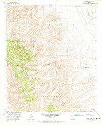
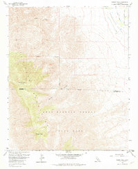
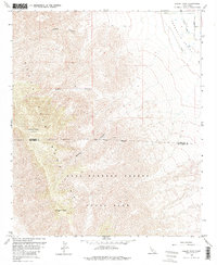
Editions of this 1959 Rabbit Peak Map
4 editions found
Other maps of this area

1904 · Indio
USGS Topo · 1:125,000

1931 · Vallecito
USGS Topo · 1:125,000

1941 · Toro Peak
USGS Topo · 1:62,500

1941 · Clark Lake
USGS Topo · 1:62,500

1941 · Coachella
USGS Topo · 1:62,500

1942 · Agua Dulce
USGS Topo · 1:62,500

1942 · Clark Lake
USGS Topo · 1:62,500

1943 · Vallecito
USGS Topo · 1:125,000

1943 · Coachella
USGS Topo · 1:62,500

1944 · Agua Dulce
USGS Topo · 1:62,500