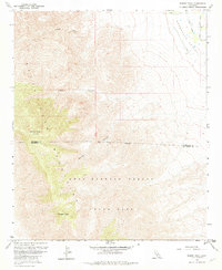
1959 Map of Rabbit Peak
USGS Topo · Published 1980About this map
The Santa Rosa Mountains dominate this landscape, rising sharply from the desert floor to the high summits of Rabbit Peak and Villager Peak. The map documents a stark topographical transition where the steep, deeply eroded terrain of Sheep Canyon and Alamo Canyon meets the agricultural fringes of the Coachella Valley. Along the northeastern corner, the geometric layout of Oasis Street and Fillmore Street contrasts with the surrounding wilderness, marking the edge of human cultivation supported by the Oasis Lateral. Much of the southern and western portions are protected within the Anza Borrego Desert State Park, where a state park boundary runs alongside the county line between Riverside and San Diego Counties. The presence of a Jeep Trail suggests the limited accessibility of these desert reaches during the mid-century mapping period.
Find a feature on this map
15 named features on this map. Tap any name to fly to it.
Don’t see what you’re looking for? This feature index may not catch every label — zoom into the map to look around manually.
Map Details
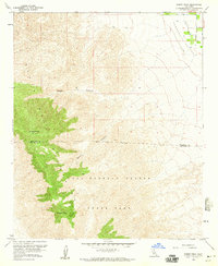
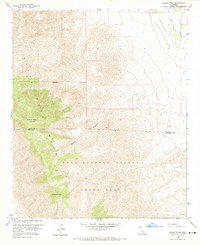
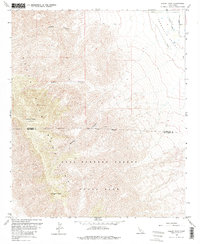
Editions of this 1959 Rabbit Peak Map
4 editions found
Other maps of this area

1904 · Indio
USGS Topo · 1:125,000

1931 · Vallecito
USGS Topo · 1:125,000

1941 · Toro Peak
USGS Topo · 1:62,500

1941 · Clark Lake
USGS Topo · 1:62,500

1941 · Coachella
USGS Topo · 1:62,500

1942 · Agua Dulce
USGS Topo · 1:62,500

1942 · Clark Lake
USGS Topo · 1:62,500

1943 · Vallecito
USGS Topo · 1:125,000

1943 · Coachella
USGS Topo · 1:62,500

1944 · Agua Dulce
USGS Topo · 1:62,500