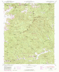
1946 Map of Rabun Bald
USGS Topo · Published 1980About this map
Rabun Bald towers over the landscape at the intersection of Georgia and North Carolina, where the Nantahala National Forest meets the Chattahoochee National Forest. This 1946 field-checked survey highlights the mountain-and-valley economy of the era, defined by the Tallulah Falls RR corridor passing through Dillard and Mountain City. The topographic detail reveals a network of high-elevation gaps and coves, including Beegum Gap and Milksick Cove, which shaped the early road and trail systems.
Find a feature on this map
109 named features on this map. Tap any name to fly to it.
Don’t see what you’re looking for? This feature index may not catch every label — zoom into the map to look around manually.
Map Details
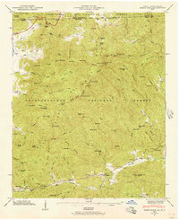
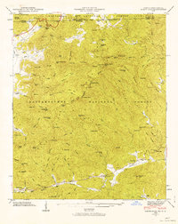
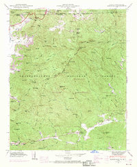
Editions of this 1946 Rabun Bald Map
4 editions found
Other maps of this area

1886 · Walhalla
USGS Topo · 1:125,000

1891 · Cowee
USGS Topo · 1:125,000

1892 · Walhalla
USGS Topo · 1:125,000

1896 · Walhalla
USGS Topo · 1:125,000

1897 · Cowee
USGS Topo · 1:125,000

1907 · Cowee
USGS Topo · 1:125,000

1935 · Prentiss
USGS Topo · 1:24,000

1935 · Dillard
USGS Topo · 1:24,000

1935 · Scaly
USGS Topo · 1:24,000

1935 · Rabun Bald
USGS Topo · 1:24,000