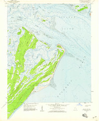
1957 Map of Raccoon Key
USGS Topo · Published 1959About this map
Ossabaw Island dominates this coastal landscape, where a network of tidal creeks and marshes meets the Atlantic Ocean. The interior of the island is crisscrossed by several named primitive routes, including Main Road, Beach Road, and Cabbage Garden Road, which connect small points of activity such as Middle Place and Torreys Landing. The 1957 topography reveals a complex hydrological system of isolated freshwater bodies like Rice Pond and Egret Pond sitting just inland from the saltwater tidal flats.
Find a feature on this map
49 named features on this map. Tap any name to fly to it.
Don’t see what you’re looking for? This feature index may not catch every label — zoom into the map to look around manually.
Map Details
Editions of this 1957 Raccoon Key Map
2 editions found
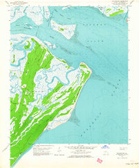
Other maps of this area

1920 · Wassaw Sound
USGS Topo · 1:62,500

1928 · St Catherines Island
USGS Topo · 1:62,500

1943 · St Catherines Island
USGS Topo · 1:62,500

1944 · Ossabaw Island
USGS Topo · 1:62,500

1945 · St. Catherine's Island
USGS Topo · 1:62,500

1945 · Ossabaw Island
USGS Topo · 1:62,500

1945 · Wassaw Sound
USGS Topo · 1:62,500

1946 · Brunswick
USGS Topo · 1:250,000

1948 · Brunswick
USGS Topo · 1:250,000
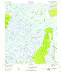
1954 · St Catherines Sound
USGS Topo · 1:24,000