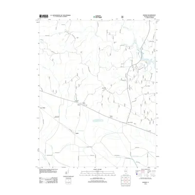
2012 Map of Raddle
USGS Topo · Published 2012About this map
The lowlands of Jackson County are defined here by a series of hollows and ridges that separate the bottomlands from the higher ground of the northern bluffs. Raddle and Glenn sit near the center of this landscape, situated between the winding course of Matusky Brook and the prominent Gum Ridge. To the west, Jones Ridge rises above the alluvial plain, while the northeastern corner is dominated by the waters of Kinkaid Lake and its tributary, Little Kinkaid Cr.
Find a feature on this map
65 named features on this map. Tap any name to fly to it.
Don’t see what you’re looking for? This feature index may not catch every label — zoom into the map to look around manually.
Map Details
Editions of this 2012 Raddle Map
This is the sole edition of this map. No revisions or reprints were ever made.
Other maps of this area

1910 · Murphysboro
USGS Topo · 1:62,500

1916 · Campbell Hill
USGS Topo · 1:62,500

1918 · Altenburg
USGS Topo · 1:62,500

1918 · Campbell Hill
USGS Topo · 1:62,500

1924 · Alto Pass
USGS Topo · 1:62,500

1925 · Altenburg
USGS Topo · 1:62,500

1938 · Murphysboro
USGS Topo · 1:62,500

1947 · Alto Pass
USGS Topo · 1:62,500

1947 · Crosstown
USGS Topo · 1:24,000

1947 · Gorham
USGS Topo · 1:24,000