2024 Map of Raddle
USGS Topo · Published 2024About this map
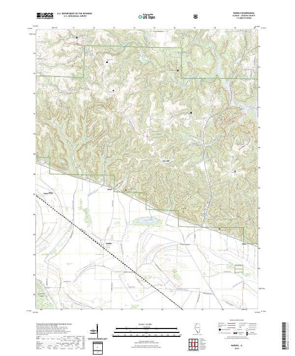
Kinkaid Creek and its many tributaries, including Spring Creek and Johnson Creek, carve through the deeply dissected landscape of the Shawnee National Forest. This 2024 map documents a rugged section of Jackson County defined by prominent ridges like Jones Ridge and Gum Ridge, contrasting sharply with the flatter bottomlands near Wilkinson Island. The settlement pattern is sparse, centered on small communities such as Glenn, Raddle, and Crain.
Find a feature on this map
66 named features on this map. Tap any name to fly to it.
Don’t see what you’re looking for? This feature index may not catch every label — zoom into the map to look around manually.
Map Details
Editions of this 2024 Raddle Map
This is the sole edition of this map. No revisions or reprints were ever made.
Other maps of this area

1910 · Murphysboro
USGS Topo · 1:62,500

1916 · Campbell Hill
USGS Topo · 1:62,500

1918 · Altenburg
USGS Topo · 1:62,500

1918 · Campbell Hill
USGS Topo · 1:62,500

1924 · Alto Pass
USGS Topo · 1:62,500

1925 · Altenburg
USGS Topo · 1:62,500

1938 · Murphysboro
USGS Topo · 1:62,500

1947 · Alto Pass
USGS Topo · 1:62,500

1947 · Crosstown
USGS Topo · 1:24,000

1947 · Gorham
USGS Topo · 1:24,000