1964 Map of Radley
USGS Topo · Published 1964About this map
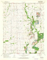
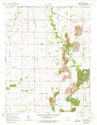
Extensive Strip Mine operations dominate the eastern landscape of this Crawford County region, reflecting the heavy industrial footprint of mid-century coal extraction. These massive excavations follow the natural contours of the land, carving deep paths between the rural townships of Washington, Sheridan, and Baker. Amidst this mechanical landscape, established communities like Radley and Beulah remain focal points for local history, supported by cultural landmarks such as Mt Olive Ch and the Childrens Home.
Find a feature on this map
22 named features on this map. Tap any name to fly to it.
Don’t see what you’re looking for? This feature index may not catch every label — zoom into the map to look around manually.
Map Details
Editions of this 1964 Radley Map
2 editions found
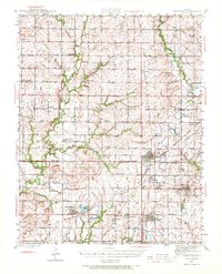
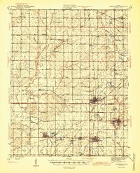
Other maps of this area

1884 · Fort Scott
USGS Topo · 1:125,000

1886 · Joplin
USGS Topo · 1:125,000

1886 · Fort Scott
USGS Topo · 1:125,000

1893 · Fort Scott
USGS Topo · 1:125,000

1894 · Joplin
USGS Topo · 1:125,000
1943 · Cherokee
USGS Topo · 1:62,500

1945 · Pittsburg
USGS Topo · 1:62,500
1945 · Cherokee
USGS Topo · 1:62,500

1947 · Joplin
USGS Topo · 1:250,000

1947 · Pittsburg
USGS Topo · 1:62,500