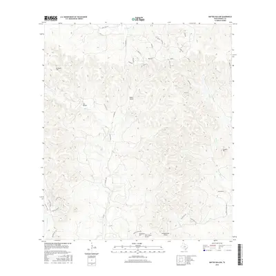
2016 Map of Rafter Hollow
USGS Topo · Published 2016About this map
Rafter Hollow and the surrounding limestone hills of the Texas Hill Country define this landscape between Kendall and Gillespie Counties. The area is characterized by a network of ranch roads and ephemeral watercourses, including Polecat Spring Cr and Darmstadt Cr, which carve through the elevations of Schleicher Mtn and Dunners Mtn. Small settlements and named locales like Flat Rock Ranch and Elm Bottom indicate the long-standing ranching heritage of the region.
Find a feature on this map
43 named features on this map. Tap any name to fly to it.
Don’t see what you’re looking for? This feature index may not catch every label — zoom into the map to look around manually.
Map Details
Editions of this 2016 Rafter Hollow Map
This is the sole edition of this map. No revisions or reprints were ever made.
Other maps of this area

1894 · Fredericksburg
USGS Topo · 1:125,000

1954 · Llano
USGS Topo · 1:250,000

1954 · San Antonio
USGS Topo · 1:250,000

1955 · Llano
USGS Topo · 1:250,000

1956 · Comfort
USGS Topo · 1:62,500

1956 · Llano
USGS Topo · 1:250,000

1957 · Boerne
USGS Topo · 1:62,500

1957 · San Antonio
USGS Topo · 1:250,000

1961 · Stonewall
USGS Topo · 1:24,000

1963 · Whitworth Ranch
USGS Topo · 1:24,000