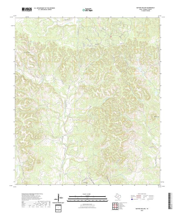
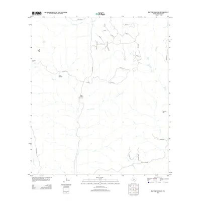
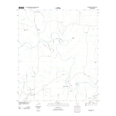
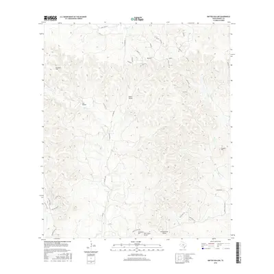
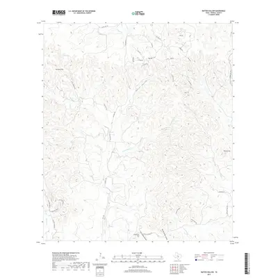
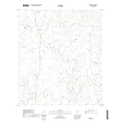
2022 Map of Rafter Hollow
USGS Topo · Published 2022About this map
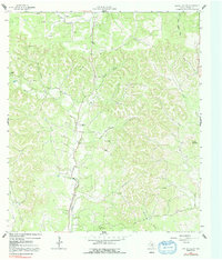
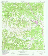
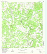
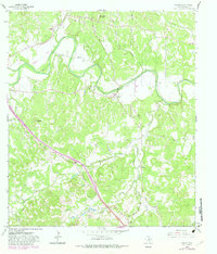
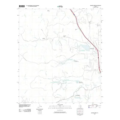
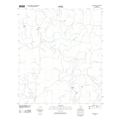
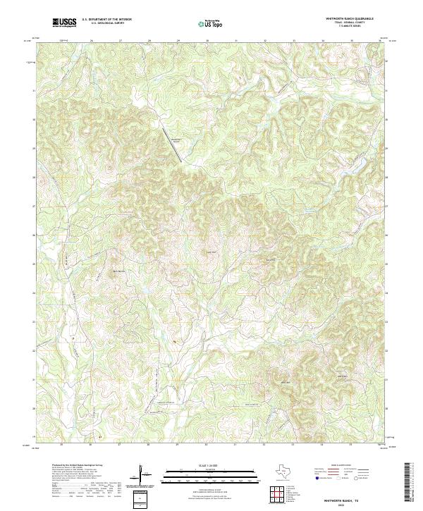
Rafter Hollow and the surrounding Hill Country terrain of Kendall County are defined by a complex network of seasonal creeks and limestone ridges. To the south, Schleicher Mtn and Dunners Mtn overlook the drainage basins of Polecat Spring Cr and Reeh Cr. The landscape is etched with local ranch roads and historical routes like Old No 9 Hwy and Giles Ranch Rd, which follow the natural contours of the land through areas like Elm Bottom and past Big Hill.
Find a feature on this map
42 named features on this map. Tap any name to fly to it.
Don’t see what you’re looking for? This feature index may not catch every label — zoom into the map to look around manually.
Map Details
Editions of this 2022 Rafter Hollow Map
This is the sole edition of this map. No revisions or reprints were ever made.
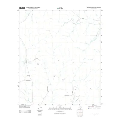
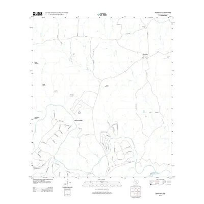
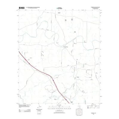
Historical Maps of Mt. Alamo Through Time
42 maps found
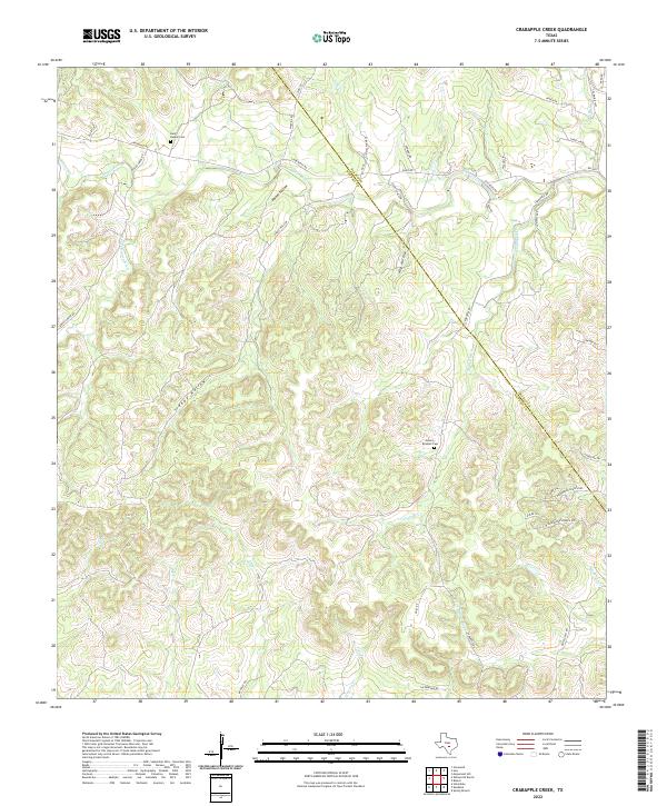
1963 Crabapple Creek
Kendall County, TX
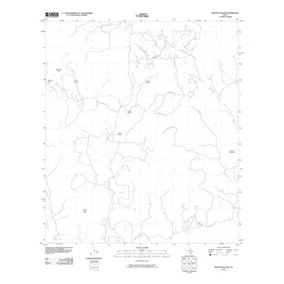
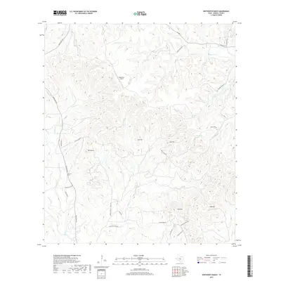
1963 Whitworth Ranch
Kendall County, TX
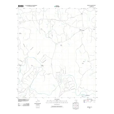
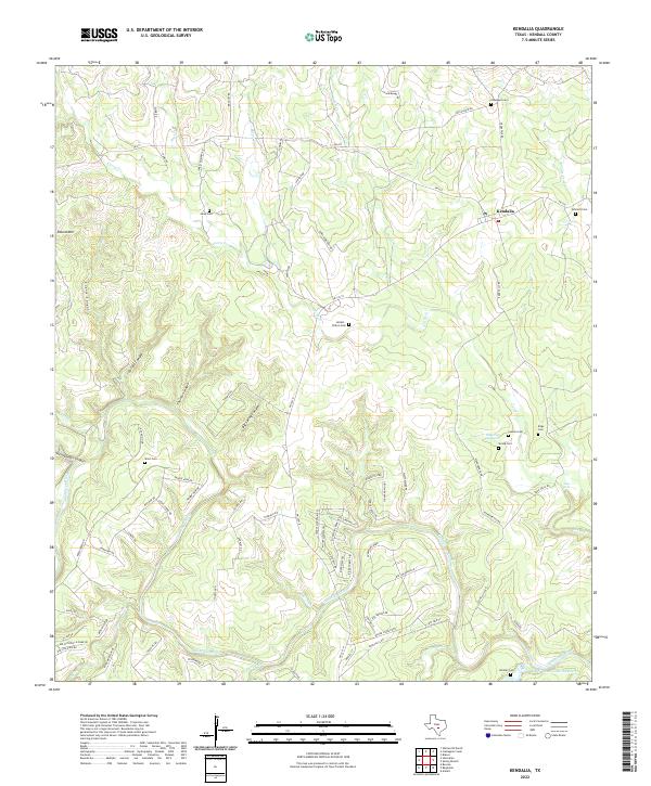
1964 Kendalia
Kendall County, TX
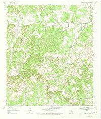
1964 Rafter Hollow
Kendall County, TX
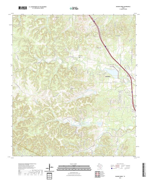
1964 Ranger Creek
Kendall County, TX
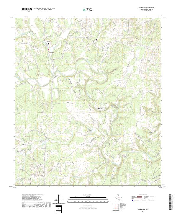
1964 Sisterdale
Kendall County, TX
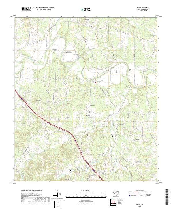
1964 Waring
Kendall County, TX
2010 Crabapple Creek
Kendall County, TX
2010 Kendalia
Kendall County, TX
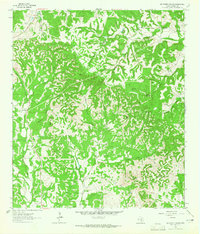
2010 Rafter Hollow
Kendall County, TX
2010 Ranger Creek
Kendall County, TX
2010 Sisterdale
Kendall County, TX
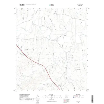
2010 Waring
Kendall County, TX
2010 Whitworth Ranch
Kendall County, TX
2012 Crabapple Creek
Kendall County, TX
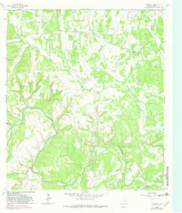
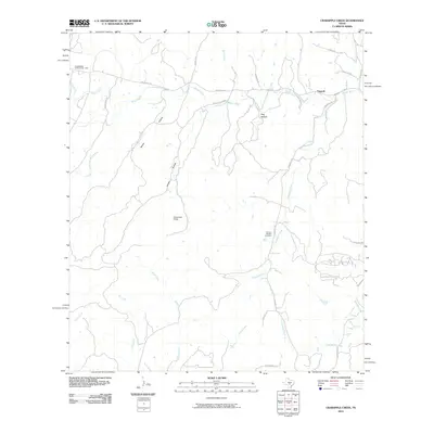
2012 Rafter Hollow
Kendall County, TX
2012 Whitworth Ranch
Kendall County, TX
2013 Kendalia
Kendall County, TX
2013 Ranger Creek
Kendall County, TX
2013 Sisterdale
Kendall County, TX
2013 Waring
Kendall County, TX
2016 Crabapple Creek
Kendall County, TX
2016 Kendalia
Kendall County, TX
2016 Rafter Hollow
Kendall County, TX
2016 Ranger Creek
Kendall County, TX
2016 Sisterdale
Kendall County, TX
2016 Waring
Kendall County, TX
2016 Whitworth Ranch
Kendall County, TX
2019 Crabapple Creek
Kendall County, TX
2019 Kendalia
Kendall County, TX
2019 Rafter Hollow
Kendall County, TX

2019 Ranger Creek
Kendall County, TX
2019 Sisterdale
Kendall County, TX
2019 Waring
Kendall County, TX
2019 Whitworth Ranch
Kendall County, TX
2022 Crabapple Creek
Kendall County, TX
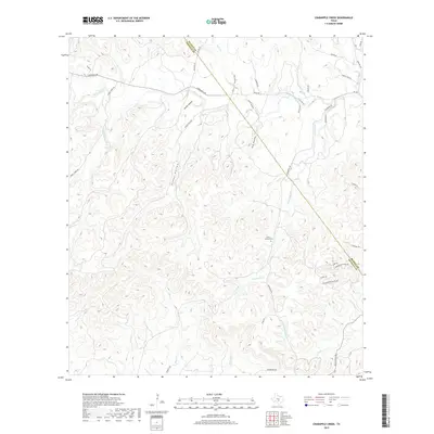
2022 Kendalia
Kendall County, TX
2022 Rafter Hollow
Kendall County, TX
2022 Ranger Creek
Kendall County, TX
2022 Sisterdale
Kendall County, TX
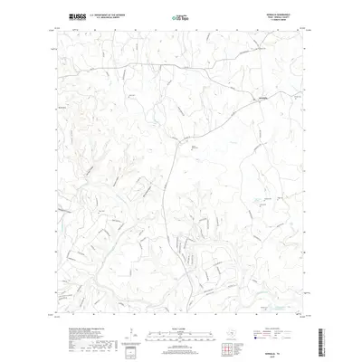
2022 Waring
Kendall County, TX
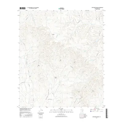
2022 Whitworth Ranch
Kendall County, TX