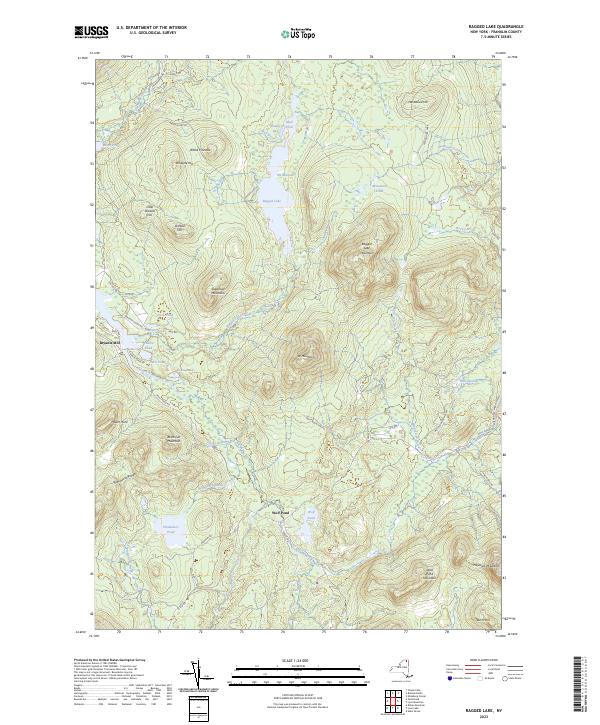
2023 Map of Ragged Lake
USGS Topo · Published 2023About this map
The Salmon River and its numerous tributaries, including Clear Brook and Tait Brook, carve through the mountainous terrain of the Adirondack Park. This landscape is defined by its water bodies, from the prominent Ragged Lake and its distinctive center at The Narrows to the smaller Plumadore Pond and Duck Ponds. The high ground is dominated by the Plumadore Range and peaks such as Sugarloaf Mountain and W Mountain.
Find a feature on this map
63 named features on this map. Tap any name to fly to it.
Don’t see what you’re looking for? This feature index may not catch every label — zoom into the map to look around manually.
Map Details
Editions of this 2023 Ragged Lake Map
This is the sole edition of this map. No revisions or reprints were ever made.
Other maps of this area

1906 · Loon Lake
USGS Topo · 1:62,500

1908 · Loon Lake
USGS Topo · 1:62,500

1911 · Lyon Mountain
USGS Topo · 1:62,500

1913 · Lyon Mountain
USGS Topo · 1:62,500

1915 · Churubusco
USGS Topo · 1:62,500

1915 · Chateaugay
USGS Topo · 1:62,500

1931 · Lyon Mountain
USGS Topo · 1:62,500

1943 · Churubusco
USGS Topo · 1:62,500

1943 · Chateaugay
USGS Topo · 1:62,500

1948 · Ogdensburg
USGS Topo · 1:250,000