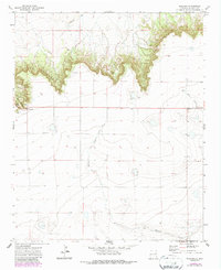
1971 Map of Ragland
USGS Topo · Published 1987About this map
The Caprock dominates the northern landscape of this Quay County quadrangle, forming a sharp escarpment that divides the higher plateau from the drainage basins below. Near the western edge, the small settlement of Ragland sits at the base of Ragland Hill, marking a point of transition where the road climbs the bluff. The presence of Prater Cem provides a specific point of interest for genealogists tracing family histories in this rural cattle-ranching region. The terrain is defined by intermittent watercourses like Blanco Creek and Barranca Creek, which have carved deep drainages into the arid landscape over time. Land use is characterized by wide-open ranch land, punctuated by isolated features such as a Radio Tower and a Well, illustrating the sparse but vital infrastructure of the High Plains in the early 1970s.
Find a feature on this map
11 named features on this map. Tap any name to fly to it.
Don’t see what you’re looking for? This feature index may not catch every label — zoom into the map to look around manually.
Map Details
Editions of this 1971 Ragland Map
2 editions found
Other maps of this area

1954 · Clovis
USGS Topo · 1:250,000

1958 · Clovis
USGS Topo · 1:250,000

1970 · Jordan
USGS Topo · 1:24,000

1970 · Quay
USGS Topo · 1:24,000

1971 · Ragland
USGS Topo · 1:24,000
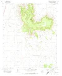
1971 · Mesa Redonda
USGS Topo · 1:24,000
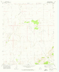
1971 · Norton
USGS Topo · 1:24,000

1971 · Forrest
USGS Topo · 1:24,000

1973 · Weber City
USGS Topo · 1:24,000

1973 · Mc Alister
USGS Topo · 1:24,000