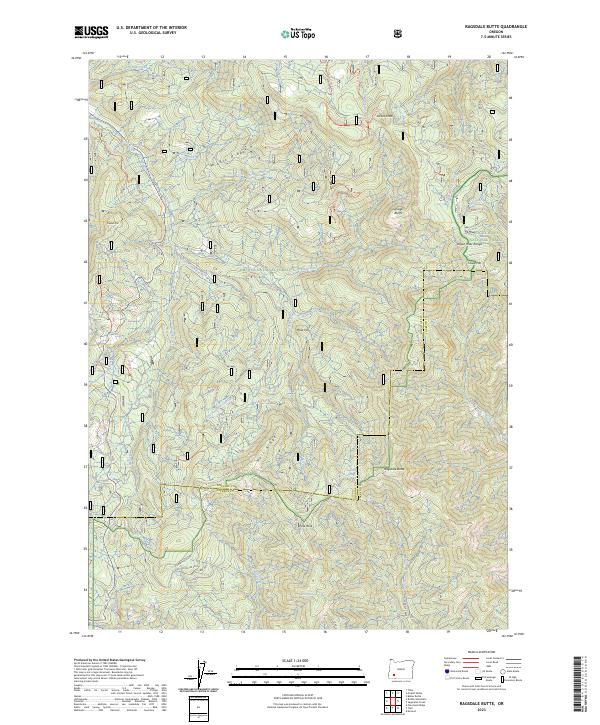
2023 Map of Ragsdale Butte
USGS Topo · Published 2023About this map
Ragsdale Butte and the surrounding terrain of the Rogue River National Forest define this landscape in Douglas and Jackson counties. This modern survey illustrates a heavily forested region managed by the Forest Service and Bureau of Land Management, where water sources like Ragsdale Spring and Oliver Spring are critical landmarks. Significant topographic features include the prominent Devils Knob, the sharp ascent of Savage Bluffs, and high points such as Cowbell Mtn and Hawk Mtn. The drainage system is anchored by the East Fork Elk Creek and Joe Hall Creek, which carve through ridges such as Middle Ridge and Wolf Ridge. The map documents a network of administrative roads and trails, including Alco Creek Rd and Oliver Ln, reflecting contemporary timber management and recreational access in the Oregon Cascades.
Find a feature on this map
49 named features on this map. Tap any name to fly to it.
Don’t see what you’re looking for? This feature index may not catch every label — zoom into the map to look around manually.
Map Details
Editions of this 2023 Ragsdale Butte Map
This is the sole edition of this map. No revisions or reprints were ever made.
Other maps of this area

1891 · Ashland
USGS Topo · 1:250,000

1893 · Ashland
USGS Topo · 1:250,000

1897 · Ashland
USGS Topo · 1:250,000

1943 · Trail
USGS Topo · 1:62,500

1944 · Tiller
USGS Topo · 1:62,500

1944 · Abbott Butte
USGS Topo · 1:62,500

1947 · Abbott Butte
USGS Topo · 1:62,500

1954 · Butte Falls
USGS Topo · 1:62,500

1955 · Medford
USGS Topo · 1:250,000

1957 · Medford
USGS Topo · 1:250,000