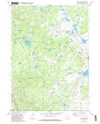
1981 Map of Raid Lake
USGS Topo · Published 1982About this map
Bridger National Forest dominates this high-altitude landscape, where the Bridger Wilderness Boundary separates the forest from protected wilderness areas. The terrain is defined by an intricate network of glacial lakes and alpine waterways, including the expansive Raid Lake, Silver Lake, and the remote Star Lake. Prominent landmarks such as Mitchells Nipple rise above the basin, providing orientation points for travelers navigating the extensive backcountry trail system.
Find a feature on this map
56 named features on this map. Tap any name to fly to it.
Don’t see what you’re looking for? This feature index may not catch every label — zoom into the map to look around manually.
Map Details
Editions of this 1981 Raid Lake Map
4 editions found
Other maps of this area

1938 · Mt Bonneville
USGS Topo · 1:62,500

1941 · Mt Bonneville
USGS Topo · 1:62,500

1942 · Mt Bonneville
USGS Topo · 1:62,500

1955 · Lander
USGS Topo · 1:250,000

1958 · Lander
USGS Topo · 1:250,000

1961 · Lander
USGS Topo · 1:250,000

1964 · Fremont Butte
USGS Topo · 1:24,000
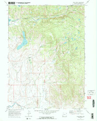
1968 · Scab Creek
USGS Topo · 1:24,000
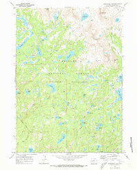
1968 · Horseshoe Lake
USGS Topo · 1:24,000

1969 · Pocket Creek Lake
USGS Topo · 1:24,000