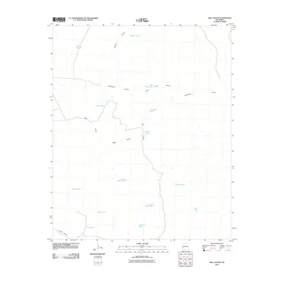
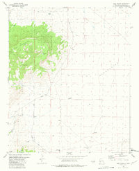
2010 Map of Rail Canyon
USGS Topo · Published 2010About this map
Rail Canyon and a vast network of arroyos define this pocket of Catron County, New Mexico. The landscape is marked by a sophisticated water management system for ranching, centered around numerous named stock tanks and catchment points. Notable features include Indian House Tank and Thompson Tank, alongside significant drainage systems like Cottonwood Canyon and Fullerton Canyon. The topographic detail traces the elevation changes between the Upper Divide Tank and Lower Divide Tank, illustrating how the geography dictated the placement of water sources across the arid high-desert floor. Smaller basins like Batton Pond and family-named landmarks such as Hobarts Tank provide specific points of interest for local history researchers tracking land use and water rights in this specific region of the American Southwest during the early 21st century.
Find a feature on this map
21 named features on this map. Tap any name to fly to it.
Don’t see what you’re looking for? This feature index may not catch every label — zoom into the map to look around manually.
Map Details
Editions of this 2010 Rail Canyon Map
This is the sole edition of this map. No revisions or reprints were ever made.
Other maps of this area

1918 · Pelona
USGS Topo · 1:125,000

1954 · Clifton
USGS Topo · 1:250,000

1957 · Clifton
USGS Topo · 1:250,000

1958 · Clifton
USGS Topo · 1:250,000

1962 · Clifton
USGS Topo · 1:250,000

1981 · Fullerton
USGS Topo · 1:24,000
1981 · Pelona Mountain
USGS Topo · 1:24,000
1981 · Rail Canyon
USGS Topo · 1:24,000
1981 · Shaw Mountain
USGS Topo · 1:24,000
1981 · Rael Spring
USGS Topo · 1:24,000