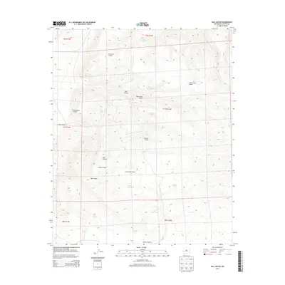
2013 Map of Rail Canyon
USGS Topo · Published 2013About this map
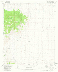
The Continental Divide traverses this high-elevation landscape in Catron County, dictating the flow of seasonal runoff through a network of canyons and livestock watering points. The topography is defined by significant drainages such as Fullerton Canyon and Indian House Canyon, which are punctuated by man-made tanks vital for ranching operations in this arid environment. The naming of features like Rail Canyon, Batton Canyon, and Cottonwood Canyon suggests a history of local navigation and land use by early settlers and ranchers who relied on these specific landmarks for orientation.
Find a feature on this map
28 named features on this map. Tap any name to fly to it.
Don’t see what you’re looking for? This feature index may not catch every label — zoom into the map to look around manually.
Map Details
Editions of this 2013 Rail Canyon Map
This is the sole edition of this map. No revisions or reprints were ever made.
Other maps of this area

1918 · Pelona
USGS Topo · 1:125,000

1954 · Clifton
USGS Topo · 1:250,000

1957 · Clifton
USGS Topo · 1:250,000

1958 · Clifton
USGS Topo · 1:250,000

1962 · Clifton
USGS Topo · 1:250,000

1981 · Fullerton
USGS Topo · 1:24,000
1981 · Pelona Mountain
USGS Topo · 1:24,000
1981 · Rail Canyon
USGS Topo · 1:24,000
1981 · Shaw Mountain
USGS Topo · 1:24,000
1981 · Rael Spring
USGS Topo · 1:24,000