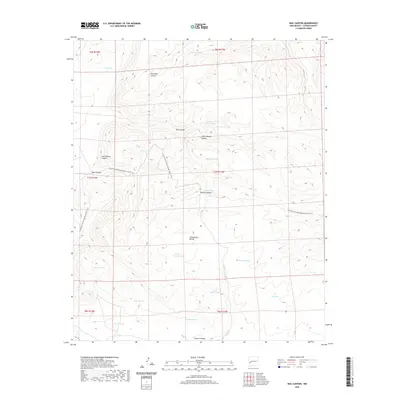
2020 Map of Rail Canyon
USGS Topo · Published 2020About this map
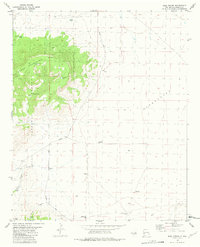
The Continental Divide serves as the literal backbone of this high-altitude landscape in Catron County. The topography is defined by a dense network of drainage systems and livestock watering points, or tanks, scattered across the arid terrain. The Continental Divide National Scenic Trail winds through the central portion of the map, following the ridgelines above Rail Canyon and Indian-House Canyon. These deep incisions in the earth are flanked by numerous named tanks such as Hobarts Tank, Heifer Tank, and Rincon Tank, which speak to the area's grazing and ranching history. The absence of permanent settlements or modern road networks underscores the isolated nature of this high-country environment as it was documented in 2020.
Find a feature on this map
29 named features on this map. Tap any name to fly to it.
Don’t see what you’re looking for? This feature index may not catch every label — zoom into the map to look around manually.
Map Details
Editions of this 2020 Rail Canyon Map
This is the sole edition of this map. No revisions or reprints were ever made.
Other maps of this area

1918 · Pelona
USGS Topo · 1:125,000

1954 · Clifton
USGS Topo · 1:250,000

1957 · Clifton
USGS Topo · 1:250,000

1958 · Clifton
USGS Topo · 1:250,000

1962 · Clifton
USGS Topo · 1:250,000

1981 · Fullerton
USGS Topo · 1:24,000
1981 · Pelona Mountain
USGS Topo · 1:24,000
1981 · Rail Canyon
USGS Topo · 1:24,000
1981 · Shaw Mountain
USGS Topo · 1:24,000
1981 · Rael Spring
USGS Topo · 1:24,000