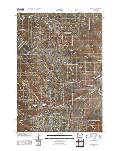
2011 Map of Rail Gulch
USGS Topo · Published 2011About this map
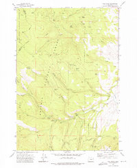
Buck Mountain anchors this high-altitude landscape in Baker County, where a complex network of drainage basins and water management systems defines the local geography. The area is characterized by numerous seasonal and perennial flows including Pole Creek and Sheep Creek, which feed into the South Fork Burnt River. Human intervention in this arid environment is evidenced by historical water infrastructure such as Cavin Ditch and Elms Ditch, alongside the Whited Reservoir. A high density of named springs, such as Mammoth Spring, Pole Spring, and Tamarack Spring, suggests the critical importance of reliable water sources for local land use. Forest Service roads like NFD RD 12 RD wind through the gulches, providing access to the various canyons including Thirsty Gulch and the eponymous Rail Gulch.
Find a feature on this map
30 named features on this map. Tap any name to fly to it.
Don’t see what you’re looking for? This feature index may not catch every label — zoom into the map to look around manually.
Map Details
Editions of this 2011 Rail Gulch Map
This is the sole edition of this map. No revisions or reprints were ever made.
Other maps of this area

1901 · Sumpter
USGS Topo · 1:125,000

1908 · Ironside Mountain
USGS Topo · 1:125,000

1955 · Canyon City
USGS Topo · 1:250,000

1959 · Canyon City
USGS Topo · 1:250,000

1972 · Austin
USGS Topo · 1:24,000
1972 · Unity
USGS Topo · 1:24,000
1972 · Deardorff Mtn
USGS Topo · 1:24,000
1972 · Bullrun Rock
USGS Topo · 1:24,000
1972 · Rail Gulch
USGS Topo · 1:24,000
1972 · Unity Reservoir
USGS Topo · 1:24,000