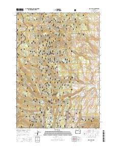
2014 Map of Rail Gulch
USGS Topo · Published 2014About this map
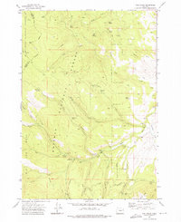
Whitman National Forest dominates this section of the Blue Mountains, where the drainage systems of the S Fork Burnt River and Bullrun Cr carve through a landscape of high ridges and deep gulches. The terrain is marked by essential water infrastructure, notably the Whited Reservoir and historical water-conveyance features like Elms Ditch and Cavin Ditch, which speak to the complex management of water in this high-altitude environment.
Find a feature on this map
45 named features on this map. Tap any name to fly to it.
Don’t see what you’re looking for? This feature index may not catch every label — zoom into the map to look around manually.
Map Details
Editions of this 2014 Rail Gulch Map
This is the sole edition of this map. No revisions or reprints were ever made.
Other maps of this area

1901 · Sumpter
USGS Topo · 1:125,000

1908 · Ironside Mountain
USGS Topo · 1:125,000

1955 · Canyon City
USGS Topo · 1:250,000

1959 · Canyon City
USGS Topo · 1:250,000

1972 · Austin
USGS Topo · 1:24,000
1972 · Unity
USGS Topo · 1:24,000
1972 · Deardorff Mtn
USGS Topo · 1:24,000
1972 · Bullrun Rock
USGS Topo · 1:24,000
1972 · Rail Gulch
USGS Topo · 1:24,000
1972 · Unity Reservoir
USGS Topo · 1:24,000