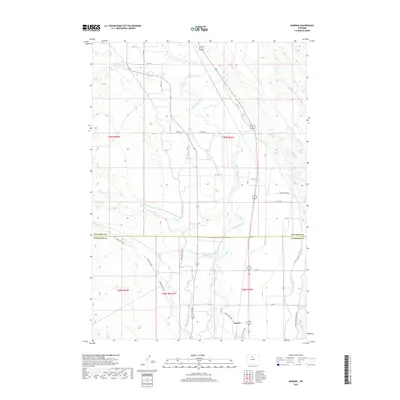
2018 Map of Rairden
USGS Topo · Published 2018About this map
The Bighorn River valley defines this central Wyoming landscape, where an extensive network of irrigation infrastructure supports the agricultural economy. The Big Horn Canal and Lower Hanover Canal parallel the river's winding path, illustrating the historical effort to manage water in this arid region. Small rail-side settlements like Rairden and Durkee sit at the crossroads of these waterways and local routes such as W River Rd.
Find a feature on this map
40 named features on this map. Tap any name to fly to it.
Don’t see what you’re looking for? This feature index may not catch every label — zoom into the map to look around manually.
Map Details
Editions of this 2018 Rairden Map
This is the sole edition of this map. No revisions or reprints were ever made.
Other maps of this area

1951 · Schuster Flats NE
USGS Topo · 1:24,000

1951 · Schuster Flats SE
USGS Topo · 1:24,000

1955 · Cody
USGS Topo · 1:250,000

1955 · Sheridan
USGS Topo · 1:250,000

1958 · Cody
USGS Topo · 1:250,000

1958 · Sheridan
USGS Topo · 1:250,000

1960 · Manderson
USGS Topo · 1:24,000

1960 · Manderson SE
USGS Topo · 1:24,000

1962 · Sheridan
USGS Topo · 1:250,000

1962 · Cody
USGS Topo · 1:250,000