
1962 Map of Raisin
USGS Topo · Published 1964About this map
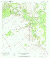
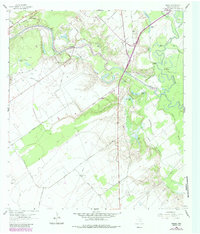
Raisin stands as the primary named settlement on this coastal prairie landscape in the early 1960s. The terrain is characterized by the winding path of Coleto Creek, which meanders through a dense network of lakes and bayous before meeting the Guadalupe River. This survey captures a moment when the rural landscape was defined by its riparian corridors and an emerging industrial infrastructure of pipelines and oil fields. The dense concentration of named water bodies, including Hog Lake, Bass Lake, and Mc Donald Bayou, reflects a complex drainage system that dictated the placement of early ranching and transport routes across the Victoria County countryside.
Find a feature on this map
1 named feature on this map. Tap any name to fly to it.
Don’t see what you’re looking for? This feature index may not catch every label — zoom into the map to look around manually.
Map Details
Editions of this 1962 Raisin Map
Other maps of this area

1951 · Bloomington
USGS Topo · 1:24,000

1952 · Bloomington SW
USGS Topo · 1:24,000

1952 · Victoria East
USGS Topo · 1:24,000

1953 · Beeville
USGS Topo · 1:250,000

1956 · Beeville
USGS Topo · 1:250,000

1960 · Beeville
USGS Topo · 1:250,000

1962 · Fannin
USGS Topo · 1:24,000

1962 · Lott Lake
USGS Topo · 1:24,000

1962 · McFaddin
USGS Topo · 1:24,000
1964 · Schroeder
USGS Topo · 1:24,000