2024 Map of Raleigh
USGS Topo · Published 2024About this map
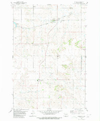
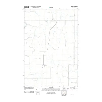
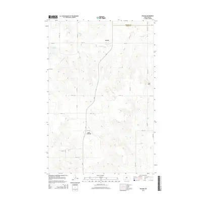
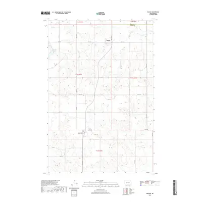
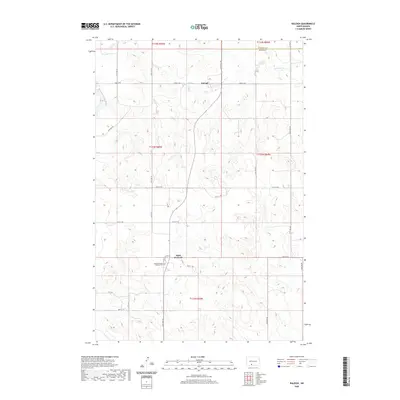
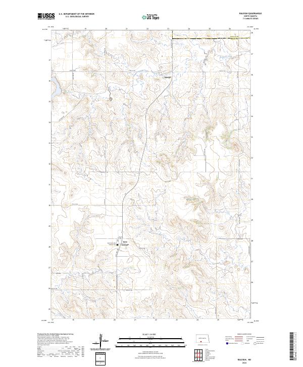
Raleigh serves as the central settlement in this North Dakota landscape, situated just south of the Morton Co and Grant Co border. The terrain is defined by the winding course of Dogtooth Creek, which meanders through the northern sections of the map. This 2024 edition documents the modern rural infrastructure, showing a network of section-line roads such as 73rd St SW and 80th St SW that crisscross the agricultural plateaus. Further south, Saint Gertrudes Catholic Cem stands as a significant landmark for genealogical research and local history, marking a site of long-standing community importance in this part of Grant County. The map provides a clear view of the Public Land Survey System divisions, including Township t133n r85w and its neighbors, illustrating the persistent grid-based settlement pattern of the northern plains.
Find a feature on this map
16 named features on this map. Tap any name to fly to it.
Don’t see what you’re looking for? This feature index may not catch every label — zoom into the map to look around manually.
Map Details
Editions of this 2024 Raleigh Map
This is the sole edition of this map. No revisions or reprints were ever made.
Historical Maps of Raleigh Through Time
6 maps found