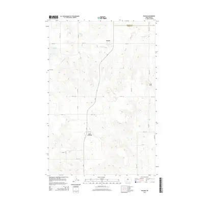
2014 Map of Raleigh
USGS Topo · Published 2014About this map
Raleigh serves as the primary settlement in this stretch of North Dakota, located just south of the Morton Co and Grant Co border. The landscape is defined by the winding course of Dogtooth Cr, which feeds into the Raleigh Reservoir west of the town center. This 2014 survey reveals a sparse prairie environment punctuated by distinct geological formations like the Three Buttes to the east. Transportation in the region is anchored by ND-31, which runs north-south, connecting the small community of Saint Gertrude to the larger township of Raleigh. The grid of section roads, including 73rd St SW and 76th St SW, underscores the agricultural layout of the county, providing a clear view of the rural homestead and ranching patterns in the early 21st century.
Find a feature on this map
14 named features on this map. Tap any name to fly to it.
Don’t see what you’re looking for? This feature index may not catch every label — zoom into the map to look around manually.
Map Details
Editions of this 2014 Raleigh Map
This is the sole edition of this map. No revisions or reprints were ever made.
Other maps of this area

1954 · Bismarck
USGS Topo · 1:250,000

1958 · Bismarck
USGS Topo · 1:250,000

1971 · Shields
USGS Topo · 1:24,000

1980 · Brisbane
USGS Topo · 1:24,000

1980 · Bell Coulee West
USGS Topo · 1:24,000

1980 · Freda
USGS Topo · 1:24,000

1980 · Lark
USGS Topo · 1:24,000

1980 · Bell Coulee East
USGS Topo · 1:24,000

1980 · Dogtooth Buttes
USGS Topo · 1:24,000

1980 · Raleigh
USGS Topo · 1:24,000