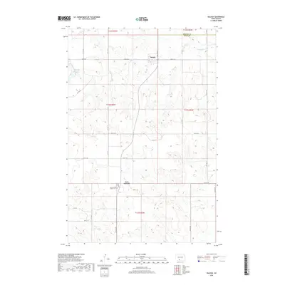
2018 Map of Raleigh
USGS Topo · Published 2018About this map
Raleigh sits on the high plains of Grant County, marking a remote community where the section line roads define the movement across the prairie. The settlement pattern here is sparse, characterized by the occasional cluster of buildings and the essential community hub at Saint Gertrude. A significant local landmark for genealogists and family researchers is the Saint Gertrudes Catholic Cem, located just south of the main settlement along N Tech Dr. The landscape is etched by the winding path of Dogtooth Cr and the waters of the Raleigh Reservoir, providing a vital contrast to the surrounding agricultural grid. This map illustrates the intersection of small-town North Dakota life with the vast township and range system, seen in boundaries like t133n r85w and t132n r85w, which have dictated land ownership for generations.
Find a feature on this map
29 named features on this map. Tap any name to fly to it.
Don’t see what you’re looking for? This feature index may not catch every label — zoom into the map to look around manually.
Map Details
Editions of this 2018 Raleigh Map
This is the sole edition of this map. No revisions or reprints were ever made.
Other maps of this area

1954 · Bismarck
USGS Topo · 1:250,000

1958 · Bismarck
USGS Topo · 1:250,000

1971 · Shields
USGS Topo · 1:24,000

1980 · Brisbane
USGS Topo · 1:24,000

1980 · Bell Coulee West
USGS Topo · 1:24,000

1980 · Freda
USGS Topo · 1:24,000

1980 · Lark
USGS Topo · 1:24,000

1980 · Bell Coulee East
USGS Topo · 1:24,000

1980 · Dogtooth Buttes
USGS Topo · 1:24,000

1980 · Raleigh
USGS Topo · 1:24,000