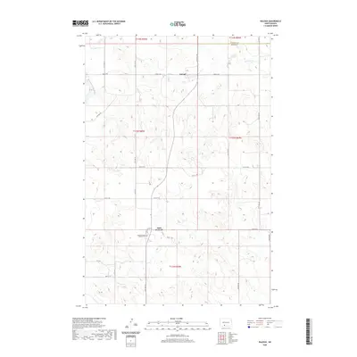
2020 Map of Raleigh
USGS Topo · Published 2020About this map
Raleigh serves as the central hub of this North Dakota landscape, situated along the northern reaches of the quadrangle. The terrain is defined by a grid-like road network, including 73rd St SW and 42nd Ave SW, which navigate the undulating prairies. In the southern portion of the survey, the small community of Saint Gertrude is a significant local landmark, specifically noted for the Saint Gertrudes Catholic Cem.
Find a feature on this map
27 named features on this map. Tap any name to fly to it.
Don’t see what you’re looking for? This feature index may not catch every label — zoom into the map to look around manually.
Map Details
Editions of this 2020 Raleigh Map
This is the sole edition of this map. No revisions or reprints were ever made.
Other maps of this area

1954 · Bismarck
USGS Topo · 1:250,000

1958 · Bismarck
USGS Topo · 1:250,000

1971 · Shields
USGS Topo · 1:24,000

1980 · Brisbane
USGS Topo · 1:24,000

1980 · Bell Coulee West
USGS Topo · 1:24,000

1980 · Freda
USGS Topo · 1:24,000

1980 · Lark
USGS Topo · 1:24,000

1980 · Bell Coulee East
USGS Topo · 1:24,000

1980 · Dogtooth Buttes
USGS Topo · 1:24,000

1980 · Raleigh
USGS Topo · 1:24,000