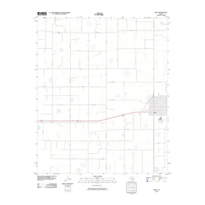
2010 Map of Ralls
USGS Topo · Published 2010About this map
Ralls serves as the primary hub of this High Plains landscape, situated at a crossroads of commerce and agriculture in Crosby County. The town's structured street grid stands out against a vast expanse of section lines and rural thoroughfares that define the region's movement. An intricate network of secondary roads, including Co Rd 144, Co Rd 160, and Co Rd 175, connect the surrounding farmland to the central settlement. The topography is dotted with numerous small, naturally occurring depressions or seasonal basins, a common geographic signature of the Llano Estacado. These features, along with the alignment of Ranch Rd 1471 and Ranch Rd 2236, reveal a land organized for large-scale cotton and grain production, where the geometry of the road system follows the cardinal directions of the original land surveys.
Find a feature on this map
24 named features on this map. Tap any name to fly to it.
Don’t see what you’re looking for? This feature index may not catch every label — zoom into the map to look around manually.
Map Details
Editions of this 2010 Ralls Map
This is the sole edition of this map. No revisions or reprints were ever made.
Other maps of this area

1954 · Lubbock
USGS Topo · 1:250,000

1965 · Acuff
USGS Topo · 1:24,000

1965 · Petersburg
USGS Topo · 1:24,000

1965 · Lorenzo
USGS Topo · 1:24,000

1965 · Cone
USGS Topo · 1:24,000

1965 · Floydada SE
USGS Topo · 1:24,000

1967 · Ralls SE
USGS Topo · 1:24,000

1967 · Ralls NE
USGS Topo · 1:24,000

1967 · Ralls
USGS Topo · 1:24,000

1967 · Savage
USGS Topo · 1:24,000