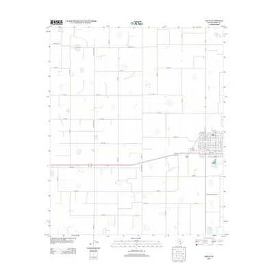
2012 Map of Ralls
USGS Topo · Published 2012About this map
The town of Ralls anchors the eastern edge of this high plains landscape, defined by a rigid grid of agricultural roads and irrigation features. The settlement itself is organized around a traditional core, with Main Ave and W Avenue A St serving as primary thoroughfares near Railroad Ave. Just to the southwest of the town center lies the Ralls Cem, providing a key point of reference for genealogists and local historians tracking family roots in Crosby County. Beyond the town limits, the terrain is partitioned by numerous county roads and designated routes like Ranch Road 1471 and Ranch Road 2236, which facilitate the region's ranching and farming operations. The map illustrates a modern era of Texas agriculture, where the geometry of the land is shaped entirely by the needs of transport and water management.
Find a feature on this map
41 named features on this map. Tap any name to fly to it.
Don’t see what you’re looking for? This feature index may not catch every label — zoom into the map to look around manually.
Map Details
Editions of this 2012 Ralls Map
This is the sole edition of this map. No revisions or reprints were ever made.
Other maps of this area

1954 · Lubbock
USGS Topo · 1:250,000

1965 · Acuff
USGS Topo · 1:24,000

1965 · Petersburg
USGS Topo · 1:24,000

1965 · Lorenzo
USGS Topo · 1:24,000

1965 · Cone
USGS Topo · 1:24,000

1965 · Floydada SE
USGS Topo · 1:24,000

1967 · Ralls SE
USGS Topo · 1:24,000

1967 · Ralls NE
USGS Topo · 1:24,000

1967 · Ralls
USGS Topo · 1:24,000

1967 · Savage
USGS Topo · 1:24,000