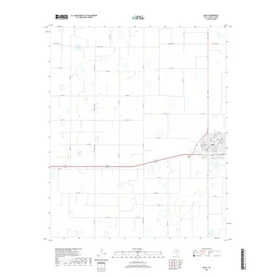
2019 Map of Ralls
USGS Topo · Published 2019About this map
The high plains of Crosby County are centered on the city of Ralls, a structured grid of streets including Tilford Ave and Watts Ave. This agricultural landscape is defined by a rigorous network of section roads like Co Rd 144 and Ranch Rd 1471, which intersect the vast stretches of farmland and playa lakes characteristic of the Llano Estacado. The density of the town's residential blocks, spanning from 1st St up to 17th St, contrasts sharply with the expansive rural surroundings. Local history is anchored just outside the main townsite at Ralls Cem, while the regional connectivity is maintained through major thoroughfares such as Fm 207, showing the modern infrastructure supporting this established Texas community.
Find a feature on this map
31 named features on this map. Tap any name to fly to it.
Don’t see what you’re looking for? This feature index may not catch every label — zoom into the map to look around manually.
Map Details
Editions of this 2019 Ralls Map
This is the sole edition of this map. No revisions or reprints were ever made.
Other maps of this area

1954 · Lubbock
USGS Topo · 1:250,000

1965 · Acuff
USGS Topo · 1:24,000

1965 · Petersburg
USGS Topo · 1:24,000

1965 · Lorenzo
USGS Topo · 1:24,000

1965 · Cone
USGS Topo · 1:24,000

1965 · Floydada SE
USGS Topo · 1:24,000

1967 · Ralls SE
USGS Topo · 1:24,000

1967 · Ralls NE
USGS Topo · 1:24,000

1967 · Ralls
USGS Topo · 1:24,000

1967 · Savage
USGS Topo · 1:24,000