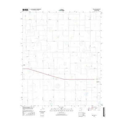
2016 Map of Ralls NE
USGS Topo · Published 2016About this map
Ralls and Crosbyton anchor the western and eastern edges of this high plains landscape as it appeared in 2016. The terrain is defined by a rigid grid of county roads, such as Co Rd 144 and Co Rd 173, which divide the agricultural land into precise geometric sections. Between these thoroughfares, subtle depressions and basins dot the plains, many marked by seasonal wetlands that break the regularity of the cultivated fields. Major regional connections like Ranch Rd 1471 and Ranch Rd 1831 facilitate transport between the central Crosby County settlements. The map provides a contemporary view of the region's rural infrastructure, illustrating how modern transportation follows the historical legacy of the section-line system in West Texas.
Find a feature on this map
32 named features on this map. Tap any name to fly to it.
Don’t see what you’re looking for? This feature index may not catch every label — zoom into the map to look around manually.
Map Details
Editions of this 2016 Ralls NE Map
This is the sole edition of this map. No revisions or reprints were ever made.
Other maps of this area

1954 · Lubbock
USGS Topo · 1:250,000

1965 · Cone
USGS Topo · 1:24,000

1965 · Floydada SE
USGS Topo · 1:24,000

1966 · Crosbyton
USGS Topo · 1:24,000

1966 · Mount Blanco
USGS Topo · 1:24,000

1966 · Collett Springs
USGS Topo · 1:24,000

1967 · Ralls SE
USGS Topo · 1:24,000

1967 · Ralls NE
USGS Topo · 1:24,000

1967 · Ralls
USGS Topo · 1:24,000

1967 · Savage
USGS Topo · 1:24,000