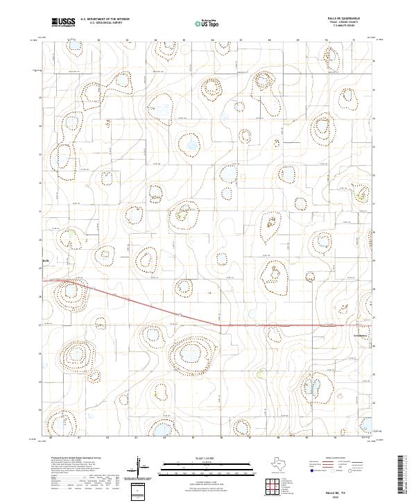
2022 Map of Ralls NE
USGS Topo · Published 2022About this map
The High Plains of West Texas stretch across this survey, anchored by the western edges of Crosbyton and the eastern periphery of Ralls. This landscape is defined by its rigorous grid of rural sections, where a network of county roads like Co Rd 175 and Co Rd 144 provide access to the vast agricultural land of the Llano Estacado. The terrain is relatively flat, punctuated by numerous ephemeral wetlands or playas, which are a characteristic geological feature of this region, appearing as small depressions across the landscape. Major transit is facilitated by regional thoroughfares such as Ranch Rd 1471 and Ranch Rd 1831, which connect the rural farmsteads to the municipal centers. This specific area reflects the enduring ranching and farming heritage of Crosby County, where the transition between the small towns and the open range is bridged by long, straight gravel and paved roads.
Find a feature on this map
32 named features on this map. Tap any name to fly to it.
Don’t see what you’re looking for? This feature index may not catch every label — zoom into the map to look around manually.
Map Details
Editions of this 2022 Ralls NE Map
This is the sole edition of this map. No revisions or reprints were ever made.
Other maps of this area

1954 · Lubbock
USGS Topo · 1:250,000

1965 · Cone
USGS Topo · 1:24,000

1965 · Floydada SE
USGS Topo · 1:24,000

1966 · Crosbyton
USGS Topo · 1:24,000

1966 · Mount Blanco
USGS Topo · 1:24,000

1966 · Collett Springs
USGS Topo · 1:24,000

1967 · Ralls SE
USGS Topo · 1:24,000

1967 · Ralls NE
USGS Topo · 1:24,000

1967 · Ralls
USGS Topo · 1:24,000

1967 · Savage
USGS Topo · 1:24,000