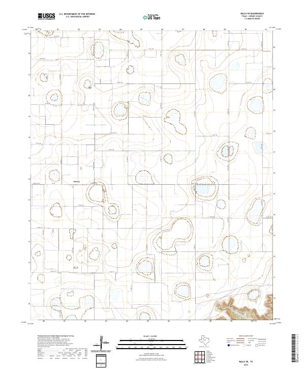
2022 Map of Ralls SE
USGS Topo · Published 2022About this map
Owens serves as the primary focal point of this Crosby County landscape, situated at the intersection of Ranch Rd 40 and FM 40. This portion of the Texas South Plains is characterized by a sprawling grid of rural county roads, such as Co Rd 182 and Co Rd 220, which define the agricultural land-use patterns of the region. The topography is largely uniform, punctuated only by numerous small depressions and the drainage of McDonald Cr in the southeastern corner. The intricate network of maintained thoroughfares, including Ranch Rd 1831 and Co Rd 179, underscores the area's ongoing connectivity and the systematic division of land typical of this high plateau country. Local historians can trace the continuity of these road systems and the enduring placement of small communities like Owens in the modern era.
Find a feature on this map
28 named features on this map. Tap any name to fly to it.
Don’t see what you’re looking for? This feature index may not catch every label — zoom into the map to look around manually.
Map Details
Editions of this 2022 Ralls SE Map
This is the sole edition of this map. No revisions or reprints were ever made.
Other maps of this area

1954 · Lubbock
USGS Topo · 1:250,000

1966 · Cap Rock
USGS Topo · 1:24,000

1966 · Crosbyton
USGS Topo · 1:24,000

1966 · Kalgary
USGS Topo · 1:24,000

1966 · Collett Springs
USGS Topo · 1:24,000

1966 · Canyon Valley
USGS Topo · 1:24,000

1967 · Ralls SE
USGS Topo · 1:24,000

1967 · Ralls NE
USGS Topo · 1:24,000

1967 · Ralls
USGS Topo · 1:24,000

1967 · Savage
USGS Topo · 1:24,000