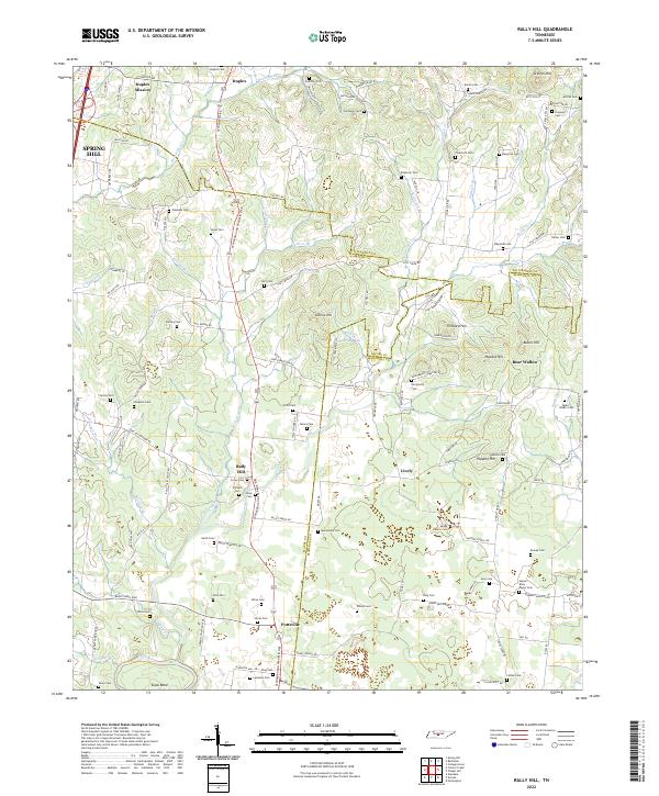
2022 Map of Rally Hill
USGS Topo · Published 2022About this map
Lewisburg And Franklin Pike anchors the rural character of this landscape where the borders of Williamson, Maury, and Marshall counties converge. Small settlements like Rally Hill and Pottsville serve as local centers for a terrain defined by family-named landmarks and many small burial grounds. The southern edge of the survey follows the winding course of the Duck River at Tugas Bend, while several creeks such as Little Flat Cr and Rutherford Cr drain the uplands. This area is notably dense with genealogical interest, containing dozens of family plots and community graveyards like the Moses Family Cem, Derryberry Cem, and Crutcher Cem. The map illustrates a transitional zone where high ridges like Collins Hill and Skinner Hill give way to the river valley, maintaining a network of narrow roads like Rally Hill Cutoff RD and Hardison Mill RD that connect these agricultural communities.
Find a feature on this map
138 named features on this map. Tap any name to fly to it.
Don’t see what you’re looking for? This feature index may not catch every label — zoom into the map to look around manually.
Map Details
Editions of this 2022 Rally Hill Map
This is the sole edition of this map. No revisions or reprints were ever made.
Other maps of this area

1909 · Franklin
USGS Topo · 1:62,500

1936 · Chapel Hill
USGS Topo · 1:24,000

1936 · Farmington
USGS Topo · 1:24,000

1936 · Verona
USGS Topo · 1:24,000

1936 · Rally Hill
USGS Topo · 1:24,000

1936 · Spring Hill
USGS Topo · 1:24,000

1936 · Carters Creek
USGS Topo · 1:24,000

1936 · Glendale
USGS Topo · 1:24,000

1936 · Bethesda
USGS Topo · 1:24,000

1941 · Carters Creek
USGS Topo · 1:24,000