
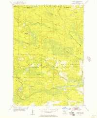
1955 Map of Ralph NE
USGS Topo · Published 1956About this map
Hydrological networks and dense woodland define this mid-century survey of the Upper Peninsula, where the Michigan State Forest and Felch Mountain State Forest meet at the border of Marquette and Dickinson counties. The landscape is a complex system of drainage, marked by the winding paths of the West Branch Escanaba River and the North Branch Ford River. High ground is evidenced by the Escanaba River Lookout Tower, a critical point for fire management in these vast timberlands.
Find a feature on this map
15 named features on this map. Tap any name to fly to it.
Don’t see what you’re looking for? This feature index may not catch every label — zoom into the map to look around manually.
Map Details
Editions of this 1955 Ralph NE Map
3 editions found
Other maps of this area

1952 · Ishpeming
USGS Topo · 1:62,500

1955 · Ralph NW
USGS Topo · 1:24,000

1955 · Republic
USGS Topo · 1:62,500

1955 · Republic SW
USGS Topo · 1:24,000

1955 · Ralph
USGS Topo · 1:62,500

1957 · Northland
USGS Topo · 1:62,500

1958 · Marquette
USGS Topo · 1:250,000

1960 · Marquette
USGS Topo · 1:250,000

1961 · Marquette
USGS Topo · 1:250,000

1968 · Marquette
USGS Topo · 1:250,000