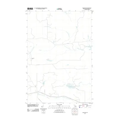
2011 Map of Ralph SW
USGS Topo · Published 2011About this map
The East Branch Sturgeon River and West Branch Sturgeon River carve through this section of the Upper Peninsula, defining a landscape shaped by both natural waterways and the legacy of regional industry. The presence of Groveland Mine Rd in the southern portion of the quadrangle points to the area's iron mining history, while the Great Lakes Airport and a network of secondary roads like Wells Grade Rd reflect the infrastructure of contemporary Dickinson County. This 2011 survey documents a mix of recreational water bodies and logging-era routes, including Sixmile Lake, Solberg Lake, and the remote Gene Pond. The transition from the Ford River drainage in the north to the Sturgeon River branches below illustrates the hydrological divide of this timber-rich region.
Find a feature on this map
19 named features on this map. Tap any name to fly to it.
Don’t see what you’re looking for? This feature index may not catch every label — zoom into the map to look around manually.
Map Details
Editions of this 2011 Ralph SW Map
This is the sole edition of this map. No revisions or reprints were ever made.
Other maps of this area

1899 · Sagola
USGS Topo · 1:62,500

1939 · Iron Mountain
USGS Topo · 1:48,000

1941 · Iron Mountain
USGS Topo · 1:48,000

1947 · Iron Mountain
USGS Topo · 1:48,000

1954 · Iron Mountain
USGS Topo · 1:250,000

1954 · Escanaba
USGS Topo · 1:250,000

1955 · Ralph NW
USGS Topo · 1:24,000

1955 · Ralph NE
USGS Topo · 1:24,000

1955 · Norway
USGS Topo · 1:62,500
1955 · Randville
USGS Topo · 1:24,000