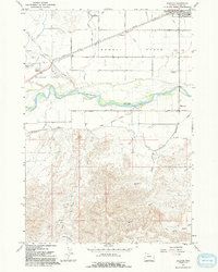
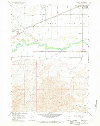
1967 Map of Ralston
USGS Topo · Published 1992About this map
Shoshone River waters dominate the central landscape of this Park County region, carving a wide valley between the high Powell Flats and the intricately eroded badlands of the south. The settlement at Powell sits in the northeast, served by the Chicago Burlington and Quincy railroad and protected by a network of agricultural infrastructure including the Garland Canal. The map reveals a mid-century community footprint characterized by mid-century landmarks like a Drive-in Theater and the Radio Tower (KPOW) alongside the traditional irrigation-fed ranching landscape. To the south, the terrain shifts abruptly from the irrigated Ralston Flats into a complex system of drainages like Roan Wash and Peerless Coulee. This contrast between the engineered hydraulic grid of the flats and the wilder, southern Pack Trail country highlights the specific boundary of 1960s Wyoming reclamation and settlement.
Find a feature on this map
30 named features on this map. Tap any name to fly to it.
Don’t see what you’re looking for? This feature index may not catch every label — zoom into the map to look around manually.
Map Details
Editions of this 1967 Ralston Map
2 editions found
Other maps of this area

1955 · Cody
USGS Topo · 1:250,000

1958 · Cody
USGS Topo · 1:250,000

1962 · Cody
USGS Topo · 1:250,000

1966 · Elk Basin SW
USGS Topo · 1:24,000

1966 · Stone Barn Camp
USGS Topo · 1:24,000

1966 · Garland
USGS Topo · 1:24,000

1966 · Elk Basin SE
USGS Topo · 1:24,000

1966 · Gilmore Hill NW
USGS Topo · 1:24,000

1966 · Corbett Dam
USGS Topo · 1:24,000

1966 · Gilmore Hill
USGS Topo · 1:24,000