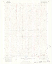
1970 Map of Ramah North
USGS Topo · Published 1973About this map
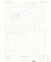
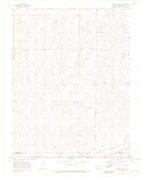
East Bijou Creek and Reed Springs Creek dominate this high-plains landscape in Elbert County, where the terrain is marked by a series of north-south drainage patterns. The agricultural and spiritual life of the area is centered around landmarks such as St Mary Ch and nearby burial grounds, including Sproch Cem and Sakala Cem. A significant transportation corridor is defined by the Chicago Rock Island and Pacific railroad, which runs through the southern portion of the quadrangle near the valley of Big Sandy Creek. This 1970 field-checked survey also reveals local industrial activity at the Gravel Pits and follows the administrative boundary between Elbert and El Paso counties. The map captures a moment in the mid-century Western landscape when rural rail connections and small community anchors defined the sparse settlement pattern.
Find a feature on this map
10 named features on this map. Tap any name to fly to it.
Don’t see what you’re looking for? This feature index may not catch every label — zoom into the map to look around manually.
Map Details
Editions of this 1970 Ramah North Map
3 editions found
Other maps of this area

1953 · Denver
USGS Topo · 1:250,000

1957 · Denver
USGS Topo · 1:250,000

1958 · Denver
USGS Topo · 1:250,000

1960 · Denver
USGS Topo · 1:250,000

1970 · Big Gulch
USGS Topo · 1:24,000
1970 · Fondis
USGS Topo · 1:24,000
1970 · Bijou SW
USGS Topo · 1:24,000
1970 · Ramah South
USGS Topo · 1:24,000
1970 · Ramah North
USGS Topo · 1:24,000
1970 · Alta Vista
USGS Topo · 1:24,000