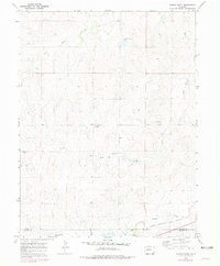
1970 Map of Ramah North
USGS Topo · Published 1979About this map
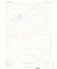
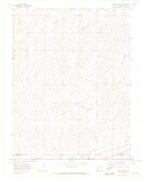
The Chicago Rock Island and Pacific railroad cuts across the southern edge of this landscape, passing through the small community of Ramah. The terrain is defined by the headwaters of several drainages, including East Bijou Creek and Big Sandy Creek, which reveal the high plains topography of the Elbert and El Paso County line in the 1970s. Local history is anchored by the St Mary Ch and family-named cemeteries such as Sakala Cem and Spxoch Cem, providing critical landmarks for genealogists tracking rural homesteaders in this region. The inclusion of Gravel Pits and various springs like Reed Springs Creek highlights the local resource extraction and water access that sustained the agricultural and transport corridor along the southern rail line.
Find a feature on this map
13 named features on this map. Tap any name to fly to it.
Don’t see what you’re looking for? This feature index may not catch every label — zoom into the map to look around manually.
Map Details
Editions of this 1970 Ramah North Map
3 editions found
Other maps of this area

1953 · Denver
USGS Topo · 1:250,000

1957 · Denver
USGS Topo · 1:250,000

1958 · Denver
USGS Topo · 1:250,000

1960 · Denver
USGS Topo · 1:250,000

1970 · Big Gulch
USGS Topo · 1:24,000
1970 · Fondis
USGS Topo · 1:24,000
1970 · Bijou SW
USGS Topo · 1:24,000
1970 · Ramah South
USGS Topo · 1:24,000
1970 · Ramah North
USGS Topo · 1:24,000
1970 · Alta Vista
USGS Topo · 1:24,000