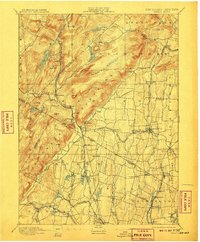
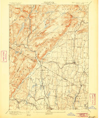
1893 Map of Ramapo
USGS Topo · Published 1908About this map
The Ramapo Mountains dominate the northwestern landscape of this late 19th-century survey, creating a topographical barrier between the developing villages of Orange and Rockland counties. The Ramapo River and Mahwah River valleys serve as vital corridors for transportation, most notably for the New York Lake Erie and Western Railroad which snakes through Sloatsburg and Suffern. The map reveals a transition from the rugged highlands to the more densely settled lowlands of Orvil and Washington townships.
Find a feature on this map
90 named features on this map. Tap any name to fly to it.
Don’t see what you’re looking for? This feature index may not catch every label — zoom into the map to look around manually.
Map Details
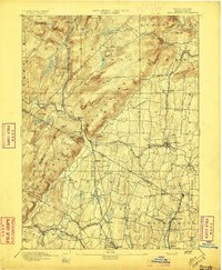
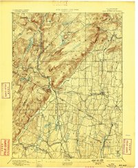
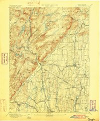
Editions of this 1893 Ramapo Map
6 editions found

Other maps of this area

1888 · Morristown
USGS Topo · 1:62,500

1888 · Paterson
USGS Topo · 1:62,500

1891 · Greenwood Lake
USGS Topo · 1:62,500

1891 · Ramapo
USGS Topo · 1:62,500

1891 · Harlem
USGS Topo · 1:62,500

1892 · West Point
USGS Topo · 1:62,500

1892 · Paterson
USGS Topo · 1:62,500

1892 · Tarrytown
USGS Topo · 1:62,500

1893 · Greenwood Lake
USGS Topo · 1:62,500

1893 · Tarrytown
USGS Topo · 1:62,500