
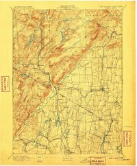
1893 Map of Ramapo
USGS Topo · Published 1893About this map
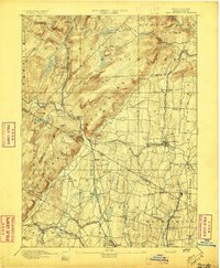
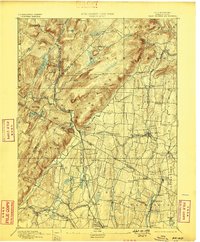
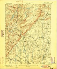
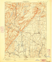
The Ramapo River cuts a prominent valley through the Rockland Mountains in this late 19th-century study of the borderlands between New York and New Jersey. The landscape is defined by its complex industrial and transportation network, dominated by numerous competing rail lines including the New York Lake Erie and Western Railroad and the specialized Sterling Mountain Railroad. These tracks link established mountain settlements like Sloatsburg and Suffern to the growing residential areas in the south, such as Pearl River and Park Ridge.
Find a feature on this map
86 named features on this map. Tap any name to fly to it.
Don’t see what you’re looking for? This feature index may not catch every label — zoom into the map to look around manually.
Map Details
Editions of this 1893 Ramapo Map
6 editions found
Other maps of this area

1888 · Morristown
USGS Topo · 1:62,500

1888 · Paterson
USGS Topo · 1:62,500

1891 · Greenwood Lake
USGS Topo · 1:62,500

1891 · Ramapo
USGS Topo · 1:62,500

1891 · Harlem
USGS Topo · 1:62,500

1892 · West Point
USGS Topo · 1:62,500

1892 · Paterson
USGS Topo · 1:62,500

1892 · Tarrytown
USGS Topo · 1:62,500

1893 · Greenwood Lake
USGS Topo · 1:62,500

1893 · Tarrytown
USGS Topo · 1:62,500