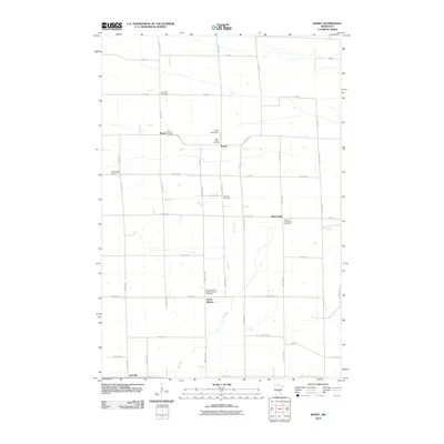
2010 Map of Ramey
USGS Topo · Published 2010About this map
The Elk River winds through this central Minnesota landscape, defining a rural corridor of small crossroads settlements and scattered parish cemeteries. Small communities like Morrill and Ramey serve as local anchors, with the latter situated near the Cross Lake Dam. The area is notably dense with burial sites that reflect the region’s early European heritage, including Saint Joseph's Cemetery and the Polish National Catholic Church Cemetery. Farther south, the small settlement of North Benton and the rural airstrip at F Dillenburg Airport highlight the mix of agricultural tradition and modern utility. The map also captures the path of the Saint Francis River in the east, which, along with the numerous cemeteries such as Lone Pine Cemetery and Fairview Cemetery, offers a detailed view of how the population has remained clustered around these waterways and historic church centers for generations.
Find a feature on this map
44 named features on this map. Tap any name to fly to it.
Don’t see what you’re looking for? This feature index may not catch every label — zoom into the map to look around manually.
Map Details
Editions of this 2010 Ramey Map
This is the sole edition of this map. No revisions or reprints were ever made.
Other maps of this area

1948 · Pierz
USGS Topo · 1:62,500

1950 · Pierz
USGS Topo · 1:62,500

1950 · St. Cloud
USGS Topo · 1:62,500

1953 · Saint Cloud
USGS Topo · 1:250,000

1953 · Stillwater
USGS Topo · 1:250,000

1955 · Stillwater
USGS Topo · 1:250,000

1957 · Saint Cloud
USGS Topo · 1:250,000

1958 · Stillwater
USGS Topo · 1:250,000

1958 · Saint Cloud
USGS Topo · 1:250,000

1965 · Stillwater
USGS Topo · 1:250,000