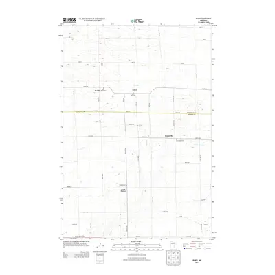
2013 Map of Ramey
USGS Topo · Published 2013About this map
Morrill and Ramey sit at the center of this rural landscape, marking a transition point between central Minnesota's agricultural plots and its winding waterways. The region is defined by the Elk River, which meanders southward toward North Benton, and the Saint Francis River cutting across the eastern reaches near Brennyville. This 2013 survey illustrates a deeply rooted community, evidenced by a dense concentration of denominational burying grounds, including Saint Joseph's Cem, Saint John's Cem, and the Polish National Catholic Church Cem. These features, alongside family-named landmarks like Lone Pine Cem, reflect the cultural heritage of the settlers who established these small hamlets. The grid of section roads, such as Nature Rd and Pine Rd NE, facilitates travel through the undulating terrain near Cross Lake.
Find a feature on this map
47 named features on this map. Tap any name to fly to it.
Don’t see what you’re looking for? This feature index may not catch every label — zoom into the map to look around manually.
Map Details
Editions of this 2013 Ramey Map
This is the sole edition of this map. No revisions or reprints were ever made.
Other maps of this area

1948 · Pierz
USGS Topo · 1:62,500

1950 · Pierz
USGS Topo · 1:62,500

1950 · St. Cloud
USGS Topo · 1:62,500

1953 · Saint Cloud
USGS Topo · 1:250,000

1953 · Stillwater
USGS Topo · 1:250,000

1955 · Stillwater
USGS Topo · 1:250,000

1957 · Saint Cloud
USGS Topo · 1:250,000

1958 · Stillwater
USGS Topo · 1:250,000

1958 · Saint Cloud
USGS Topo · 1:250,000

1965 · Stillwater
USGS Topo · 1:250,000