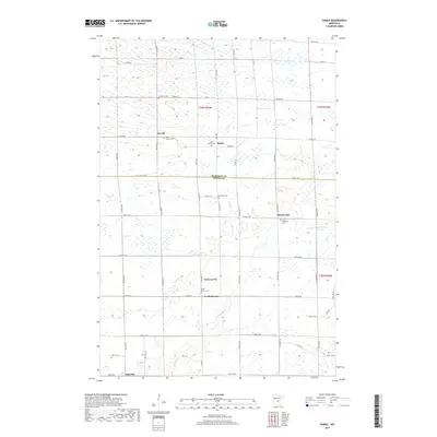
2019 Map of Ramey
USGS Topo · Published 2019About this map
Morrill and Ramey serve as the primary hubs in this rural landscape spanning the border of Morrison Co and Benton Co. The region is defined by a dense network of small communities and religious landmarks, including Brennyville, North Benton, and Jakeville. For genealogists and local historians, the map is remarkably dense with burial sites such as Lone Pine Cem, Saint Josephs Cem, and the Polish Church Cem. The natural drainage of the area is guided by the meandering Elk River and the Saint Francis River in the east, which cut through a terrain of numerous small wetlands. This survey provides a modern view of the road systems, from the county-level Hwy 26 to local routes like Nature Rd, connecting these long-standing central Minnesota settlements.
Find a feature on this map
39 named features on this map. Tap any name to fly to it.
Don’t see what you’re looking for? This feature index may not catch every label — zoom into the map to look around manually.
Map Details
Editions of this 2019 Ramey Map
This is the sole edition of this map. No revisions or reprints were ever made.
Other maps of this area

1948 · Pierz
USGS Topo · 1:62,500

1950 · Pierz
USGS Topo · 1:62,500

1950 · St. Cloud
USGS Topo · 1:62,500

1953 · Saint Cloud
USGS Topo · 1:250,000

1953 · Stillwater
USGS Topo · 1:250,000

1955 · Stillwater
USGS Topo · 1:250,000

1957 · Saint Cloud
USGS Topo · 1:250,000

1958 · Stillwater
USGS Topo · 1:250,000

1958 · Saint Cloud
USGS Topo · 1:250,000

1965 · Stillwater
USGS Topo · 1:250,000