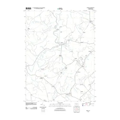
2010 Map of Ramey
USGS Topo · Published 2010About this map
Clearfield Creek winds through this central Pennsylvania landscape, serving as the geographic spine for numerous small communities and coal-era settlements. In the early 21st century, the area around Ramey and Beccaria remains defined by its intersection of rail history and rural industry, with locations like Banian Junction and Hegarty Crossroads marking vital transit points. Genealogists will find significant value in the documentation of numerous burial grounds, including Saint Marys Cemetery, Saint Barbara Cemetery, and the Weld Cemetery. The map also captures the local infrastructure of Beccaria Township, detailing the Smithmill Post Office in Janesville and the intricate network of runs such as Muddy Run and Little Muddy Run that have shaped the valley's settlement patterns since the era of Belsena Mills.
Find a feature on this map
75 named features on this map. Tap any name to fly to it.
Don’t see what you’re looking for? This feature index may not catch every label — zoom into the map to look around manually.
Map Details
Editions of this 2010 Ramey Map
This is the sole edition of this map. No revisions or reprints were ever made.
Other maps of this area

1902 · Patton
USGS Topo · 1:62,500

1903 · Curwensville
USGS Topo · 1:62,500

1903 · Houtzdale
USGS Topo · 1:62,500

1904 · Patton
USGS Topo · 1:62,500

1905 · Houtzdale
USGS Topo · 1:62,500

1920 · Altoona
USGS Topo · 1:62,500

1922 · Altoona
USGS Topo · 1:62,500

1939 · Curwensville
USGS Topo · 1:62,500

1942 · Curwensville
USGS Topo · 1:62,500

1943 · Punxsutawney
USGS Topo · 1:125,000