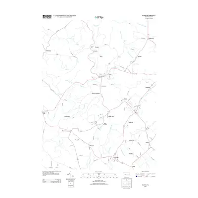
2013 Map of Ramey
USGS Topo · Published 2013About this map
Clearfield Cr carves a winding path through the heart of the Ramey quadrangle, defining the layout of rural crossroads and valley settlements in this section of central Pennsylvania. The landscape is marked by a high density of small communities and junctions that speak to the region's industrial and agricultural roots. Waterways like Muddy Run and Little Muddy Run anchor several clusters of activity, including Madera and Janesville in the southern reaches.
Find a feature on this map
125 named features on this map. Tap any name to fly to it.
Don’t see what you’re looking for? This feature index may not catch every label — zoom into the map to look around manually.
Map Details
Editions of this 2013 Ramey Map
This is the sole edition of this map. No revisions or reprints were ever made.
Other maps of this area

1902 · Patton
USGS Topo · 1:62,500

1903 · Curwensville
USGS Topo · 1:62,500

1903 · Houtzdale
USGS Topo · 1:62,500

1904 · Patton
USGS Topo · 1:62,500

1905 · Houtzdale
USGS Topo · 1:62,500

1920 · Altoona
USGS Topo · 1:62,500

1922 · Altoona
USGS Topo · 1:62,500

1939 · Curwensville
USGS Topo · 1:62,500

1942 · Curwensville
USGS Topo · 1:62,500

1943 · Punxsutawney
USGS Topo · 1:125,000