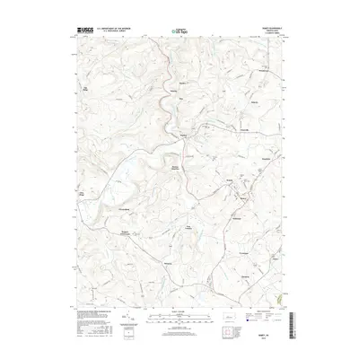
2016 Map of Ramey
USGS Topo · Published 2016About this map
Clearfield Creek winds through the heart of this landscape, carving a deep valley that dictates the placement of settlements like Belsena and Madera. In this part of Clearfield County, the high ground is defined by ridges such as Oak Ridge, while the drainages of Muddy Run and Little Muddy Run create a complex network of hollows. The settlement pattern shows a high density of small communities and crossroads, including Banian Junction, Hegarty Crossroads, and Amesville, which are connected by a web of local roads like Belsena Rd and Cross Roads Blvd.
Find a feature on this map
101 named features on this map. Tap any name to fly to it.
Don’t see what you’re looking for? This feature index may not catch every label — zoom into the map to look around manually.
Map Details
Editions of this 2016 Ramey Map
This is the sole edition of this map. No revisions or reprints were ever made.
Other maps of this area

1902 · Patton
USGS Topo · 1:62,500

1903 · Curwensville
USGS Topo · 1:62,500

1903 · Houtzdale
USGS Topo · 1:62,500

1904 · Patton
USGS Topo · 1:62,500

1905 · Houtzdale
USGS Topo · 1:62,500

1920 · Altoona
USGS Topo · 1:62,500

1922 · Altoona
USGS Topo · 1:62,500

1939 · Curwensville
USGS Topo · 1:62,500

1942 · Curwensville
USGS Topo · 1:62,500

1943 · Punxsutawney
USGS Topo · 1:125,000