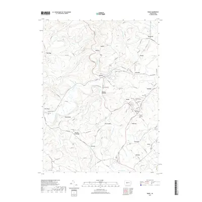
2019 Map of Ramey
USGS Topo · Published 2019About this map
Clearfield Creek and its many tributaries, such as Muddy Run and Alexander Run, define the complex drainage of this section of Clearfield County. The map reveals a dense network of small communities and crossroads typical of Pennsylvania's bituminous coal region, including Madera, Ramey, and Beccaria. The cultural history of the area is particularly evident in its numerous religious sites, such as the Saint Vladimirs Ukrainian Orthodox Cem and Holy Trinity Catholic Church Cem near Ramey, reflecting the ethnic diversity of the workforce that settled these valleys.
Find a feature on this map
108 named features on this map. Tap any name to fly to it.
Don’t see what you’re looking for? This feature index may not catch every label — zoom into the map to look around manually.
Map Details
Editions of this 2019 Ramey Map
This is the sole edition of this map. No revisions or reprints were ever made.
Other maps of this area

1902 · Patton
USGS Topo · 1:62,500

1903 · Curwensville
USGS Topo · 1:62,500

1903 · Houtzdale
USGS Topo · 1:62,500

1904 · Patton
USGS Topo · 1:62,500

1905 · Houtzdale
USGS Topo · 1:62,500

1920 · Altoona
USGS Topo · 1:62,500

1922 · Altoona
USGS Topo · 1:62,500

1939 · Curwensville
USGS Topo · 1:62,500

1942 · Curwensville
USGS Topo · 1:62,500

1943 · Punxsutawney
USGS Topo · 1:125,000