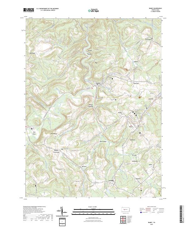
2023 Map of Ramey
USGS Topo · Published 2023About this map
Clearfield Creek winds through a landscape defined by small settlements and burial grounds in this modern topographic study of southern Clearfield County. The borough of Ramey serves as a central hub, surrounded by clusters of heritage sites such as Beulah, Madera, and Smithmill. For genealogists, the map is remarkably dense with cemetery data, ranging from the Saint Vladimirs Ukrainian Orthodox Cem and Holy Trinity Catholic Church Cem to family-named sites like Alexander Cem.
Find a feature on this map
115 named features on this map. Tap any name to fly to it.
Don’t see what you’re looking for? This feature index may not catch every label — zoom into the map to look around manually.
Map Details
Editions of this 2023 Ramey Map
This is the sole edition of this map. No revisions or reprints were ever made.
Other maps of this area

1902 · Patton
USGS Topo · 1:62,500

1903 · Curwensville
USGS Topo · 1:62,500

1903 · Houtzdale
USGS Topo · 1:62,500

1904 · Patton
USGS Topo · 1:62,500

1905 · Houtzdale
USGS Topo · 1:62,500

1920 · Altoona
USGS Topo · 1:62,500

1922 · Altoona
USGS Topo · 1:62,500

1939 · Curwensville
USGS Topo · 1:62,500

1942 · Curwensville
USGS Topo · 1:62,500

1943 · Punxsutawney
USGS Topo · 1:125,000