
1968 Map of Ramey NE
USGS Topo · Published 1970About this map
The boundary between Morrison and Mille Lacs counties defines this rural landscape, characterized by a complex network of wetlands and small waterways. In the late 1960s, the terrain was divided into distinct townships including Leigh, Bradbury, Mount Morris, and Dailey. This survey captures the social and logistical infrastructure of the time, anchoring the community with local landmarks like the Townhall and School No 1228. Drainage patterns are dictated by the South Fork Bradbury Brook in the north and the Tibbetts Brook and West Branch Rum River to the south. Small-scale industrial activity is evident through scattered Gravel Pits and a Sandpit, reflecting the local resource extraction necessary for maintaining the area's secondary road network during this era.
Find a feature on this map
12 named features on this map. Tap any name to fly to it.
Don’t see what you’re looking for? This feature index may not catch every label — zoom into the map to look around manually.
Map Details
Editions of this 1968 Ramey NE Map
This is the sole edition of this map. No revisions or reprints were ever made.
Other maps of this area

1953 · Duluth
USGS Topo · 1:250,000

1953 · Stillwater
USGS Topo · 1:250,000

1955 · Stillwater
USGS Topo · 1:250,000

1958 · Stillwater
USGS Topo · 1:250,000

1958 · Duluth
USGS Topo · 1:250,000

1965 · Stillwater
USGS Topo · 1:250,000

1968 · Onamia
USGS Topo · 1:24,000
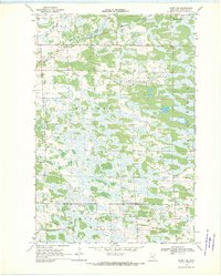
1968 · Ramey NW
USGS Topo · 1:24,000

1968 · Rum River
USGS Topo · 1:24,000
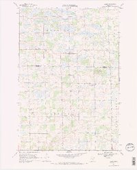
1968 · Ramey
USGS Topo · 1:24,000