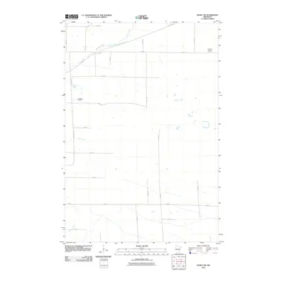
2010 Map of Ramey NW
USGS Topo · Published 2010About this map
Hillman Creek and Skunk Creek drain this rural landscape of Morrison County, where the geometric grid of agricultural roads defines the township layout. A significant historical corridor is preserved as the Soo Line Trl, which cuts diagonally across the northern section, tracing the path of the former Minneapolis, St. Paul and Sault Ste. Marie Railroad. Local landmarks such as the Immanuel Lutheran Cemetery in the northeast and Kastanek Airport to the west serve as anchors for genealogists and local historians researching the family farms of the area. Small tributaries like Buckman Creek meander through the southern reaches, highlighting the low-lying hydrology that shaped the original settlement patterns and field boundaries.
Find a feature on this map
23 named features on this map. Tap any name to fly to it.
Don’t see what you’re looking for? This feature index may not catch every label — zoom into the map to look around manually.
Map Details
Editions of this 2010 Ramey NW Map
This is the sole edition of this map. No revisions or reprints were ever made.
Other maps of this area

1948 · Pierz
USGS Topo · 1:62,500

1948 · Lastrup
USGS Topo · 1:62,500

1950 · Lastrup
USGS Topo · 1:62,500

1950 · Pierz
USGS Topo · 1:62,500

1953 · Duluth
USGS Topo · 1:250,000

1953 · Brainerd
USGS Topo · 1:250,000

1953 · Saint Cloud
USGS Topo · 1:250,000

1953 · Stillwater
USGS Topo · 1:250,000

1955 · Stillwater
USGS Topo · 1:250,000

1957 · Brainerd
USGS Topo · 1:250,000