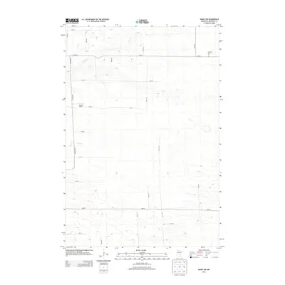
2013 Map of Ramey NW
USGS Topo · Published 2013About this map
The agricultural landscape of Morrison County is defined by a rigorous section-line road network and the gentle drainage of several small waterways. Hillman Cr and Skunk Cr meander through the central and northern sections, while Buckman Cr appears in the southwest, indicating the subtle topographic variations of this prairie region. Significant for local history and genealogy, the Immanuel Lutheran Cem sits at the northern edge near the intersection of 153rd St and 370th Ave, serving as a silent anchor for the surrounding rural community. The presence of the Kastanek Airport off Partridge Rd highlights the practical infrastructure required for large-scale farming operations and general aviation in this part of Minnesota.
Find a feature on this map
23 named features on this map. Tap any name to fly to it.
Don’t see what you’re looking for? This feature index may not catch every label — zoom into the map to look around manually.
Map Details
Editions of this 2013 Ramey NW Map
This is the sole edition of this map. No revisions or reprints were ever made.
Other maps of this area

1948 · Pierz
USGS Topo · 1:62,500

1948 · Lastrup
USGS Topo · 1:62,500

1950 · Lastrup
USGS Topo · 1:62,500

1950 · Pierz
USGS Topo · 1:62,500

1953 · Duluth
USGS Topo · 1:250,000

1953 · Brainerd
USGS Topo · 1:250,000

1953 · Saint Cloud
USGS Topo · 1:250,000

1953 · Stillwater
USGS Topo · 1:250,000

1955 · Stillwater
USGS Topo · 1:250,000

1957 · Brainerd
USGS Topo · 1:250,000