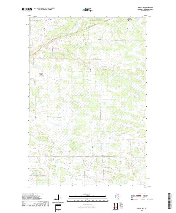
2022 Map of Ramey NW
USGS Topo · Published 2022About this map
The lowlands of eastern Morrison County are defined by a network of drainage creeks and wetlands, where Hillman Creek and Skunk Cr move through a landscape shaped by glacial till. The small settlement of Hillman anchors the northeastern corner of the sheet, situated near the Immanuel Lutheran Cem. This map shows the transformation of the region's transportation history, as the Soo Line South: Morrison Trl now follows the path of a former rail corridor, cutting diagonally across the township lines of T41N R29W. Away from the main county roads like Co RD 39, the area remains largely agricultural and rural, punctuated by private infrastructure like Kastanek Airport. The grid of township and section roads, including 143rd ST and 93rd ST, provides a precise look at the land division in this part of central Minnesota.
Find a feature on this map
28 named features on this map. Tap any name to fly to it.
Don’t see what you’re looking for? This feature index may not catch every label — zoom into the map to look around manually.
Map Details
Editions of this 2022 Ramey NW Map
This is the sole edition of this map. No revisions or reprints were ever made.
Other maps of this area

1948 · Pierz
USGS Topo · 1:62,500

1948 · Lastrup
USGS Topo · 1:62,500

1950 · Lastrup
USGS Topo · 1:62,500

1950 · Pierz
USGS Topo · 1:62,500

1953 · Duluth
USGS Topo · 1:250,000

1953 · Brainerd
USGS Topo · 1:250,000

1953 · Saint Cloud
USGS Topo · 1:250,000

1953 · Stillwater
USGS Topo · 1:250,000

1955 · Stillwater
USGS Topo · 1:250,000

1957 · Brainerd
USGS Topo · 1:250,000